KITAMOTO Asanobu
@
National Institute of Informatics (NII)
>
Search
|
Site Map
Digital Typhoon: Latest AMeDAS Images - Precipitation, Wind Direction and Speed, Temperature and Sun Duration
Home
>
Earth
>
Digital Typhoon
>
AMeRAS
>
Latest Images
>
Japanese
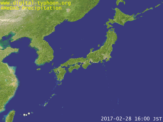
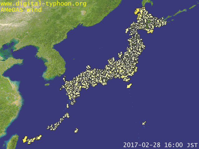
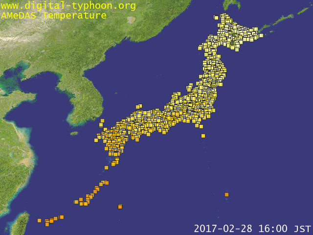
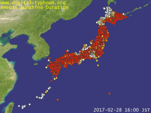
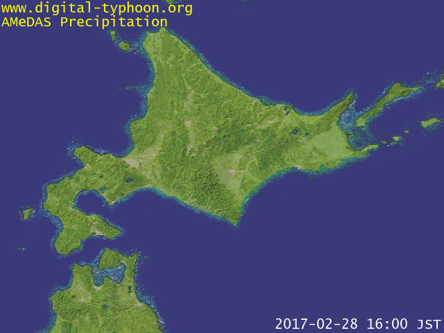
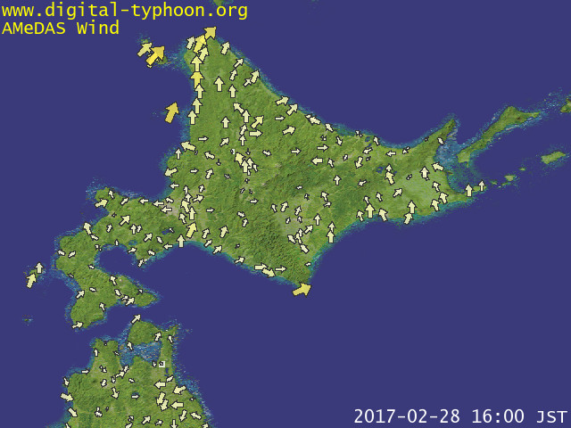
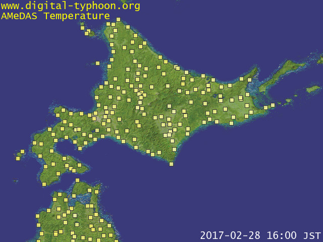
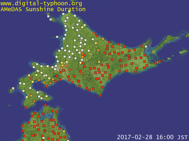
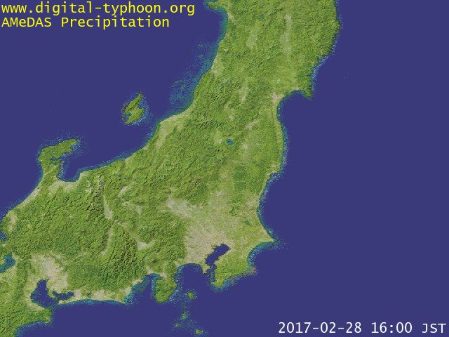
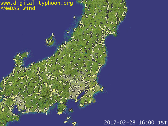
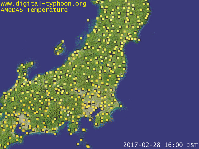
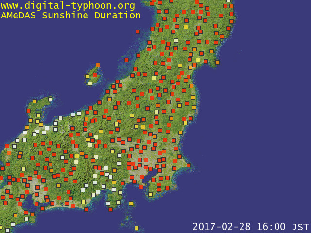
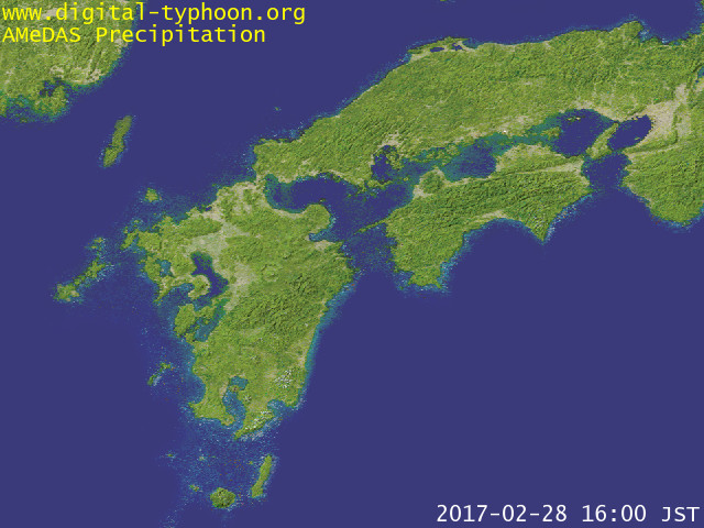
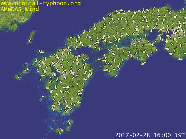
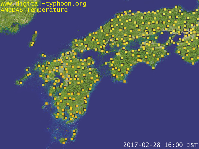
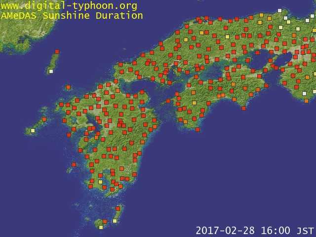
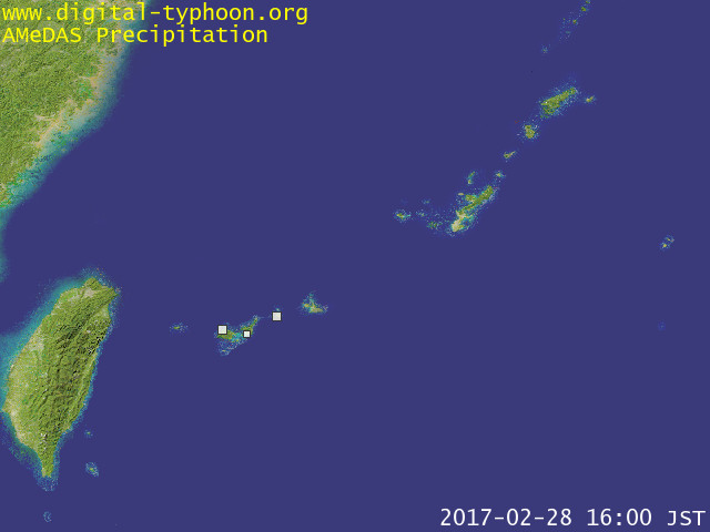
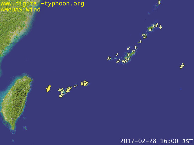
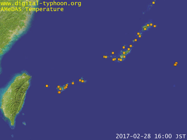
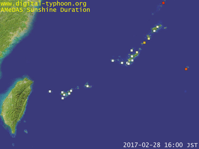
Realtime AMeDAS data is visualized on the map. The target is precipitation, wind direction and speed, temperature and sun duration. For past AMeDAS images, please visit
AMeDAS Animations
.
[
AMeRAS
..] [
AMeDAS Rain on Google Maps
..] [
Latest Radar Images
..] [
AMeDAS Wind on Google Maps
..] [
Event Detection
..] [
AMeDAS Statistics
..] [
Heavy Rain
..]
Updated: 2017-02-28 07:00 (UTC)
Entire Japan
Northern Japan
Eastern Japan
Western Japan
South-west Islands
Related Pages
About the data of this page
AMeDAS Past Animations
Latest Radar Images
AMeDAS Rain on Google Maps
AMeDAS Wind on Google Maps
AMeRAS (AMeDAS Ranking Service)
AMeDAS Event Detection
AMeDAS Statistics
AMeDAS Stations Search
AMeDAS Heavy Rain
Digital Photo Frame Version
Picasa Web Album - Digital Typhoon
Contact
|
About This Site
|
What's New