| Infrared 1 | Infrared 2 |
|---|---|
 |
 |
| Infrared 3 | Infrared 4 |
 |
 |
| ||||||||||||
| ||||||||||||
|
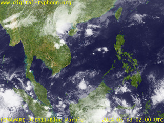
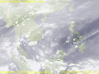
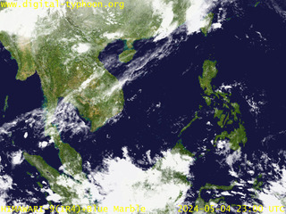
This page provides satellite images that covers the whole area of South East Asia. This includes the southern part of China, Taiwan, Philippines, the northern part of Indonesia, Malaysia, Singapore, Thailand, Vietnam, Lao, and Myanmar.
| Infrared 1 | Infrared 2 |
|---|---|
|
|
| Infrared 3 | Infrared 4 |
|
|
|