About SYNCREEL
SYNCREEL is an image browser with a set of timelines for seeing a large amount of images accumulated along time. By taking advantage of functionality of scrolling multiple timelines in a synchronized manner, realized is the simultaneous browsing of images observed at many points at the same time, observed by many sensors at the same time, or transformed by many image processing algorithms.
A unique feature of SYNCREEL is in the browsing of images with variable speeds over time. You can see the change of images for every minute, or every month. You can freely move from the past to the present along time by scrolling timelines to left or right while changing the interval of time. You can also change the vertical order of timelines, which makes you easier to compare multiple images of the same time.
Another feature of SYNCREEL is the “tag” (maximum 7 tags) that represents the content of images. A tag may represent information on the observed time of images, or the content of images (obtained from image analysis algorithms and so on), and if necessary, we can develop a system that users can give tags based on their interest. When you want to narrow down images from the timeline based on the semantic information of images, please keep focusing on the color of circles that corresponds to the tag you are interested, and narrow down the images by changing the interval of time.
SYNCREEL is software for realizing a Web service to freely navigate temporally accumulating images of multiple timelines. By changing the configuration of software, you can use this software for many purposes, such as fixed cameras and weather data.
Development of SYNCREEL was supported by DIAS project.
CREDIT
- • Planning and Operation
- Asanobu KITAMOTO
(National Institute of Informatics, Research Organization of Information and Systems http://agora.ex.nii.ac.jp/~kitamoto/) - • Web site building & authoring
- Produce, Direction, Art Direction and Design /
Takeya SUZUKI (Satzuquinigo http://www.satzuquinigo.jp/)
Direction and Interaction Development /
Takahiro IWATA (Uniteair Co.,Ltd. http://www.uniteair.co.jp/)
Markup Engineering /
Shigeki TAKENO (bisard.Inc http://www.bisard.jp/)
System Requirements
Screen resolution : 1024 x 768 pixels or more / Connection speed : Broadband Internet connection / Web browser : Windows Internet Explorer 7.0 or higher Firefox 2.0 or higher, Macintosh Safari 3 or higher Firefox 2.0 or higher
- Plugin :
- Viewing the Website of SYNCREEL requires the most recent version of Adobe Flash Player plug-in. Please download and install the Adobe Flash Player plug-in from the download site.
- JavaScript :
- This website uses JavaScript. Please change the configuration of your Web browser to enable JavaScript to view the Website.
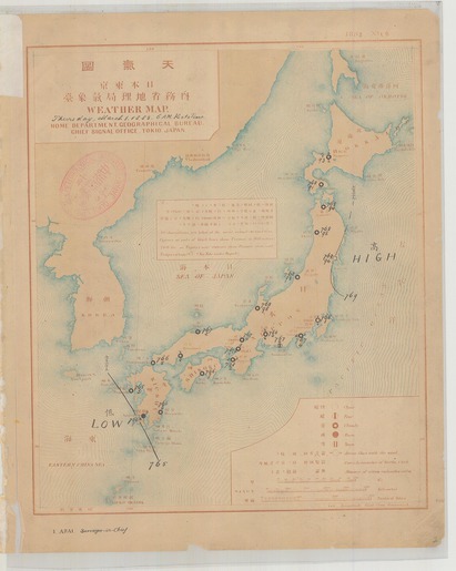
Database of Weather Maps for Hundred Years
weather_chart
Browse the database of weather maps for hundred years. The site includes four types of weather maps - Asia Pacific surface weather maps, Asia upper-level weather maps (850hPa, 700hPa), and northern hemisphere upper-level weather maps (500hPa).
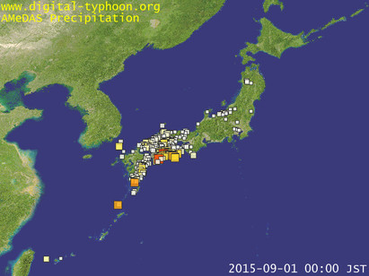
AMeDAS Archive (Japan)
amedas_japan
AMeDAS Archive (Japan) on precipitation, wind direction and speed, temperature, and sun duration are shown as timelines.
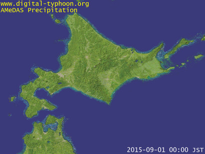
AMeDAS Archive (Northern Japan)
amedas_north
AMeDAS Archive (North) on precipitation, wind direction and speed, temperature, and sun duration are shown as timelines.
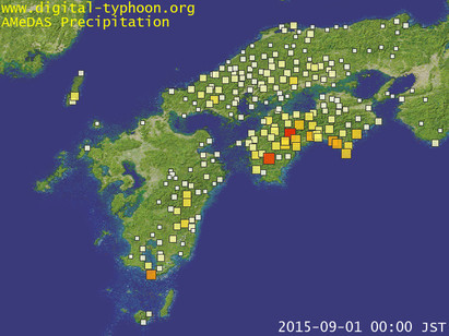
AMeDAS Archive (Eastern Japan)
amedas_east
AMeDAS Archive (Eastern Japan) on precipitation, wind direction and speed, temperature, and sun duration are shown as timelines.
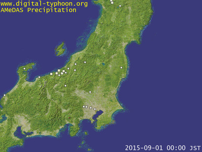
AMeDAS Archive (Western Japan)
amedas_west
AMeDAS Archive (Western Japan) on precipitation, wind direction and speed, temperature, and sun duration are shown as timelines.
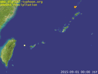
AMeDAS Archive (South-west Islands)
amedas_south
AMeDAS Archive (South-west Islands) on precipitation, wind direction and speed, temperature, and sun duration are shown as timelines.