| ||||||||
| ||||||||
|
From the Blue Marble web site ...
"The Blue Marble dataset is the most detailed true-color image of the entire Earth to date. Using a collection of satellite-based observations, scientists and visualizers stitched together months of observations of the land surface, oceans, sea ice, and clouds into a seamless, true-color mosaic of every square kilometer of our planet."
These datasets are available in the web page of The Blue Marble. Many kinds of information are extracted from satellite data, and each kind of information is represented by a layer. Then the publicly available dataset is the combination of those multiple layers. Specific combinations are as follows.
Among the datasets above, the city lights dataset were created from the Nighttime Lights of the World.
The dataset used in the Web site Digital Typhoon and others is "Land Surface, Shallow Water, and Shaded Topography." This dataset is so huge that it is divided into two files; namely, Western hemisphere (240MB/TIFF) and Eastern Hemisphere (400MB/TIFF), and can be downloaded from the respective web site only after obtaining the permission. Sometimes it takes one month to obtain a permission, but the beauty of the dataset is worth seeing.
We thank NASA Earth Observatory team for the compilation of such a beautiful dataset.
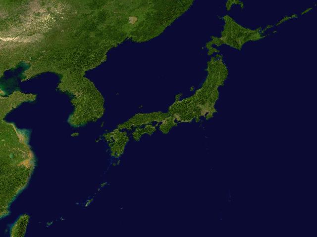
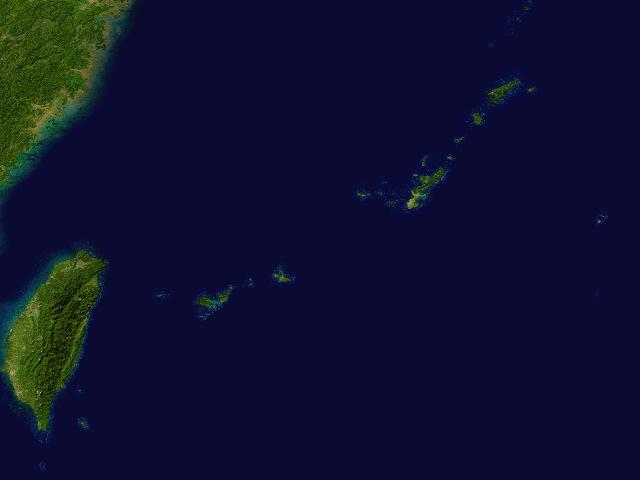
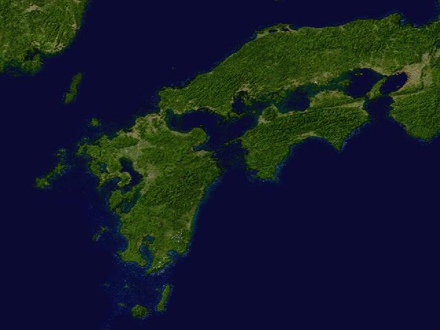
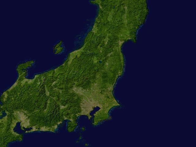
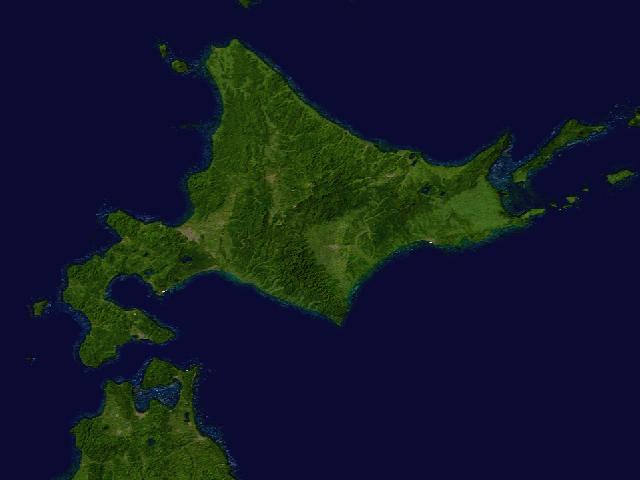
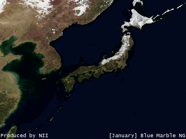
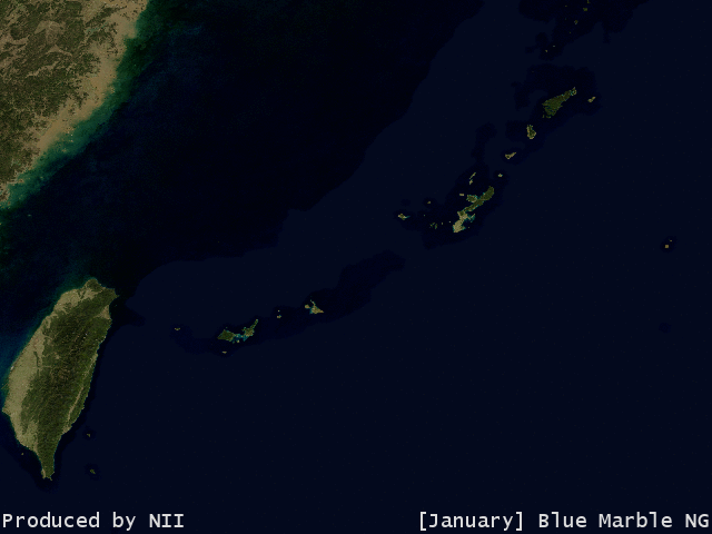
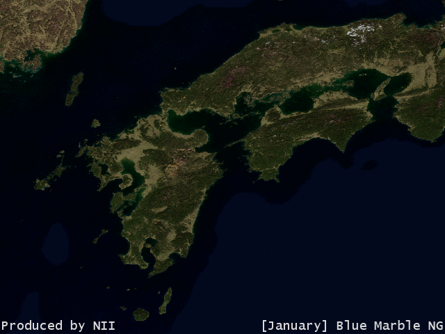
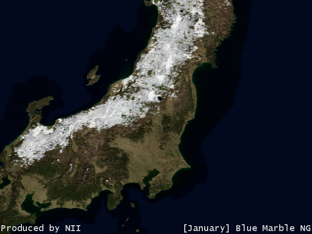
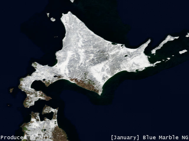
Several images in the following illustrate several regions in Japan generated from Blue Marble dataset. In addition, we have images of Silk Roads from Above.
NASA currently distributes "Blue Marble Next Generation (BMNG)" instead of the first Blue Marble introduced above. The difference between two datasets is summarized below.
Of course, there are other technical modifications for improving the quality of the data by changing algorithms. The following provides some examples made from BMNG.
Blue marble images of other regions are available on following pages.
MODIS (Moderate Resolution Imaging Spectroradiometer) acquires data in 36 spectral bands with high resolution. The blue marble images are mainly created from the observations of this satellite sensor.
http://modis.gsfv.nasa.gov/
|