|
Digital Typhoon: Meteorological Phonomena : February 2005 Heavy Snow in Hokuriku |
|
|
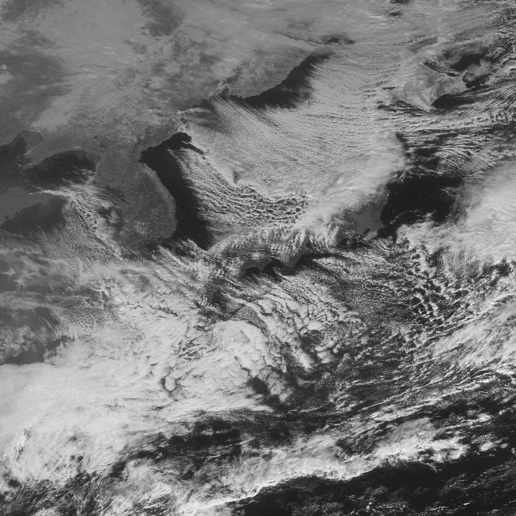
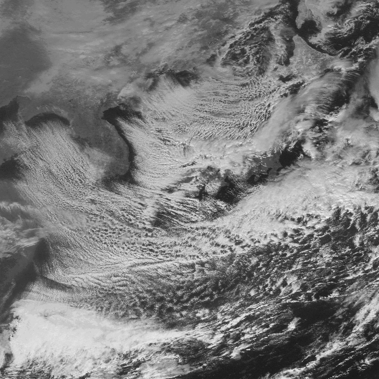
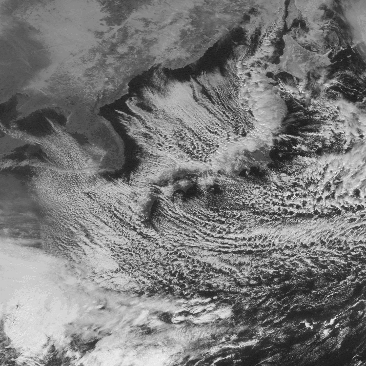
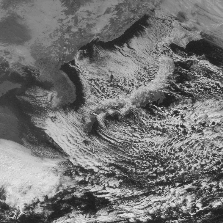
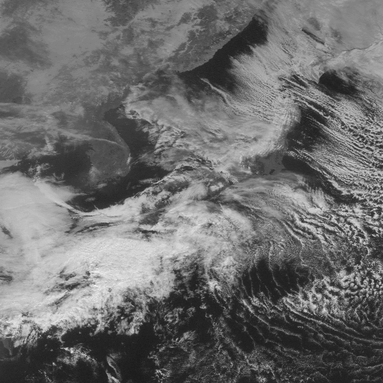
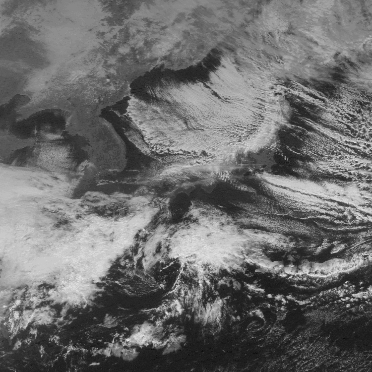
1. Meteorological Satellite Imagery
From January 31 to February 2, 2005, Hokuriku and other districts had heavy snowfall. Tookamachi City, which is one of severely affected areas of Mid Niigata prefecture Earthquake, had the heaviest snowfall in these 19 years since 1986. Satellite images in the following show that the thick line of clouds are extending between Hokuriku and Tohoku on January 31, and between San'in and Hokuriku on February 1.