北本 朝展
@
国立情報学研究所 (NII)
>
検索
|
サイトマップ
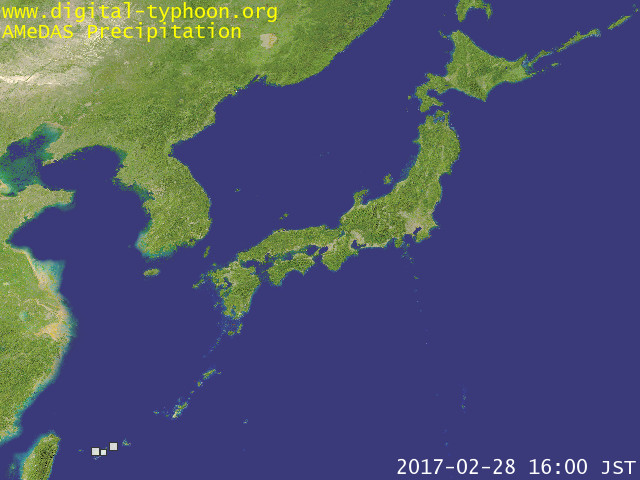
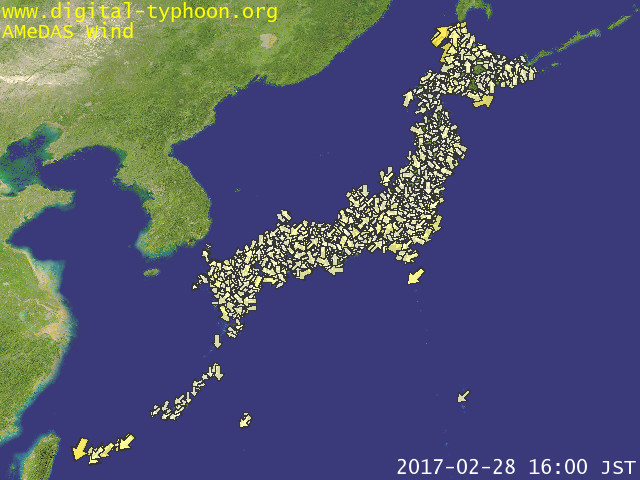
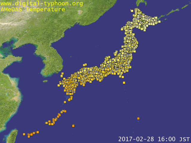
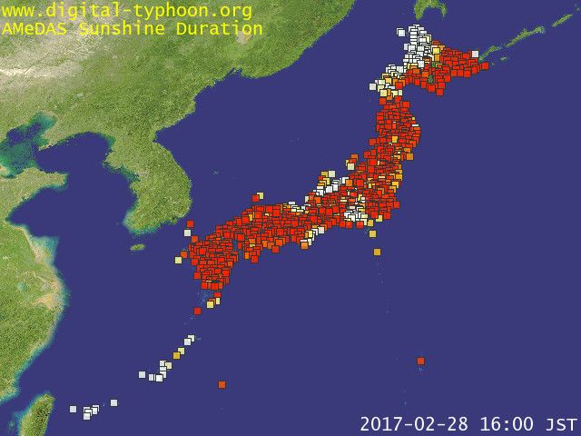
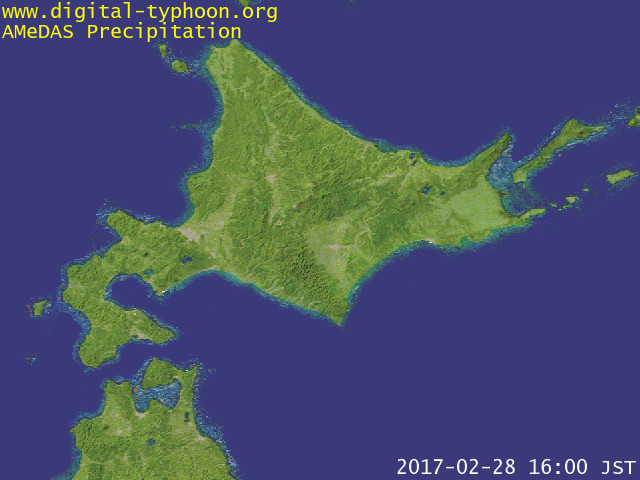
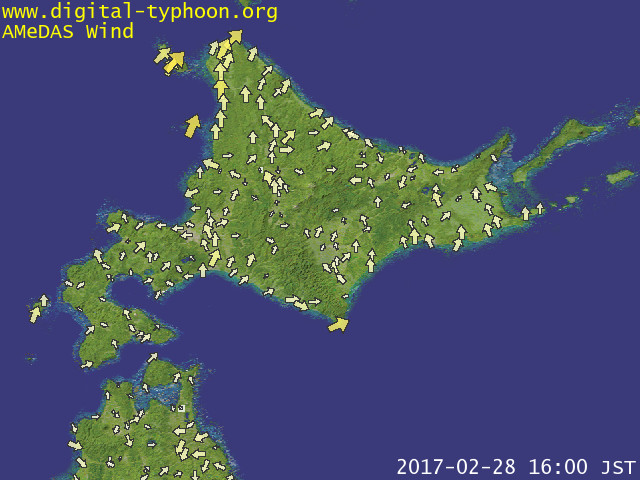
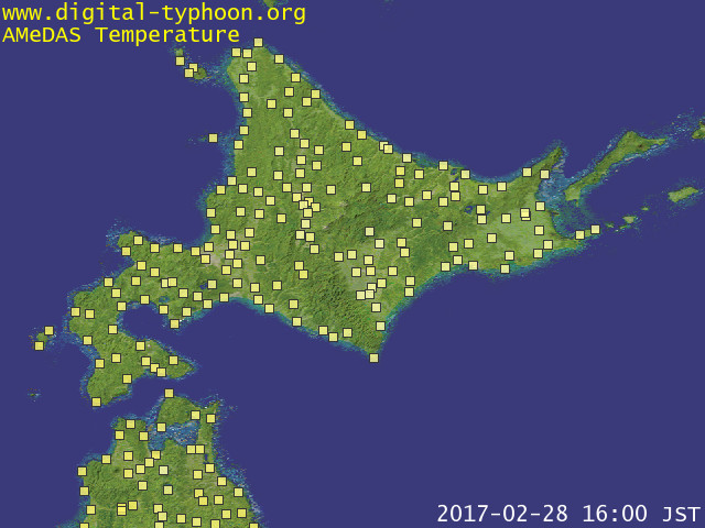
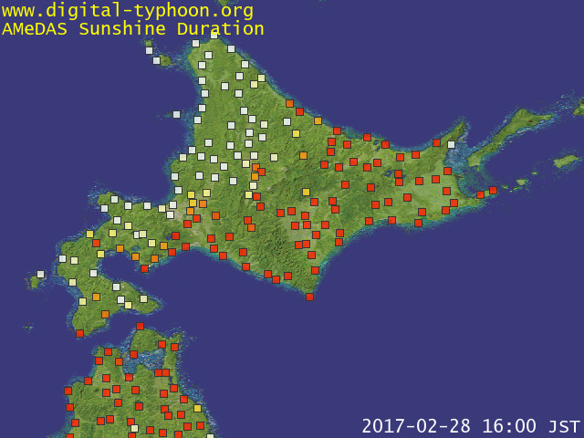
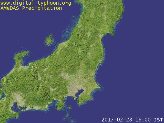
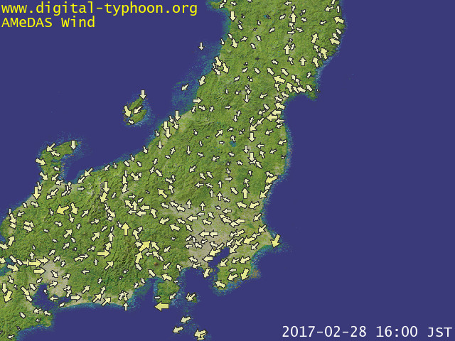
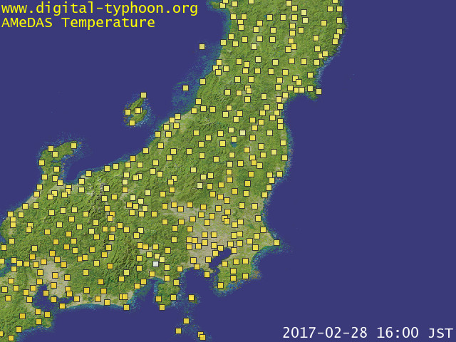
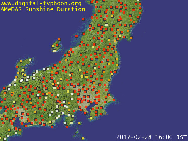
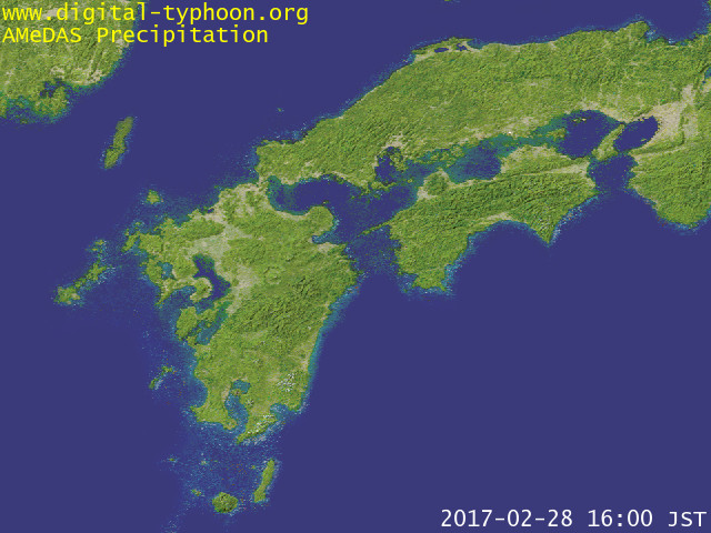
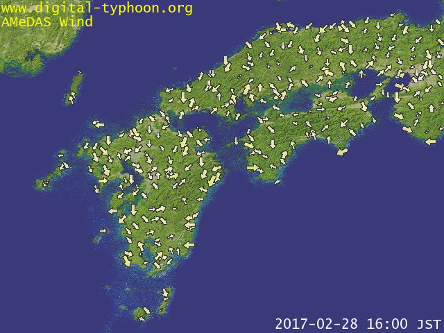
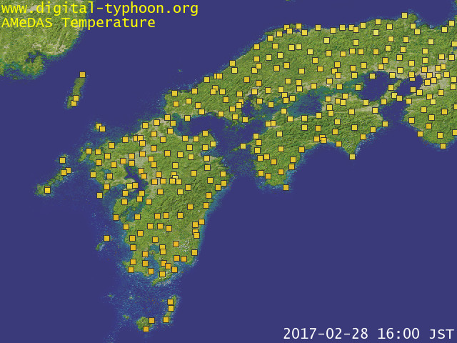
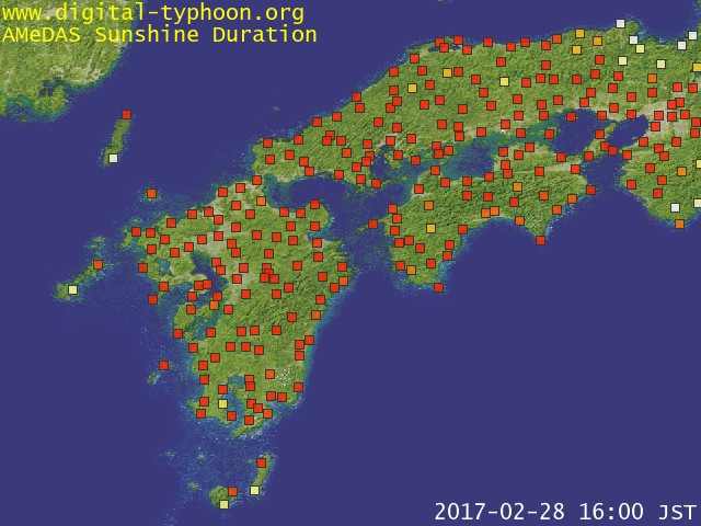
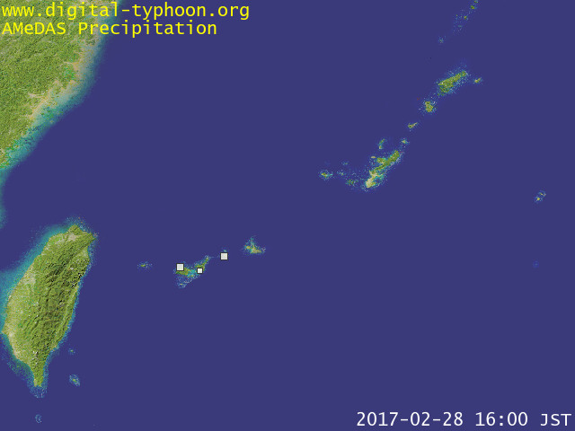
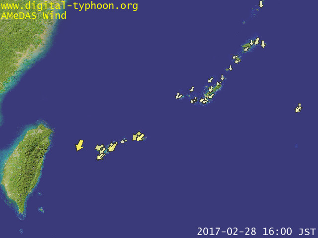
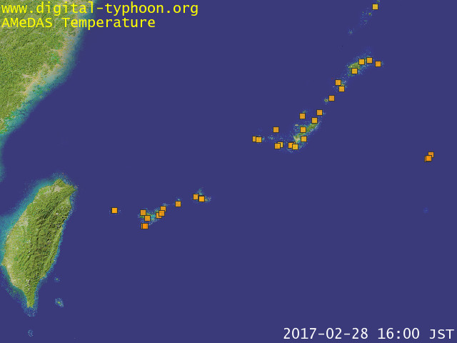
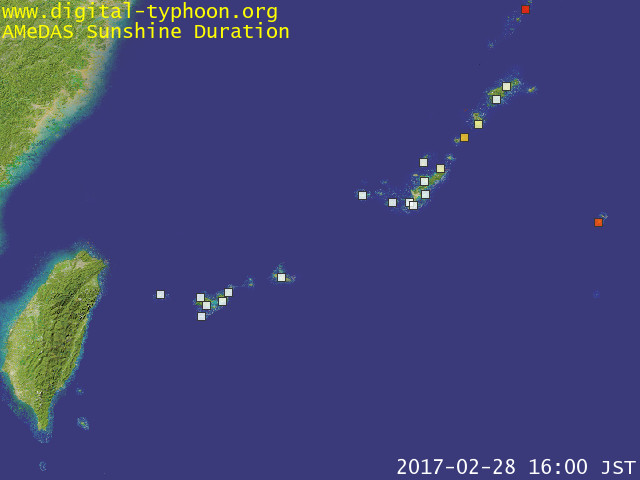
デジタル台風:最新アメダス画像 - 降水量、風向・風速、気温、日照時間
ホーム
>
Earth
>
デジタル台風
>
アメラス
>
最新画像
>
English
リアルタイムのアメダスデータ(実況)を地図上に可視化して提供します。対象とするのは、降水量、風向・風速、気温、日照時間です。なお過去のアメダス画像については
アメダス動画アーカイブ
をご覧下さい。
[
アメラス
..] [
アメダス降水量Google Maps版
..] [
最新レーダー画像
..] [
アメダス風速・風向Google Maps版
..] [
イベント検出
..] [
アメダス統計
..] [
集中豪雨
..]
更新日時: 2017年 2月 28日 16時 00分 (JST)
日本全域
北日本
東日本
西日本
南西諸島
関連ページ
このページのデータについて
アメダス過去の動画アーカイブ
最新レーダー画像
アメダス降水量Google Maps版
アメダス風速・風向Google Maps版
アメラス(アメダス・ランキング・サービス)
アメダスイベント検出
アメダス統計
アメダス観測地点の検索
アメダス集中豪雨
デジタルフォトフレーム版
Picasaウェブアルバム - Digital Typhoon
連絡先
|
このサイトについて
|
更新履歴