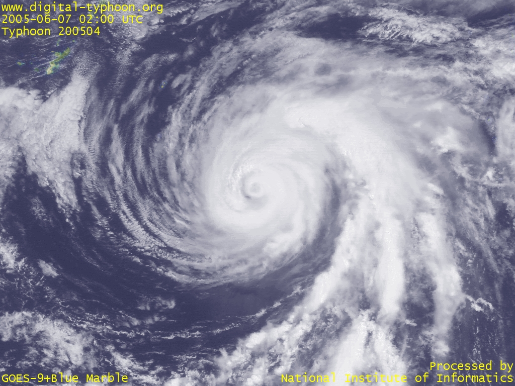
 Typhoon NESAT with its core clouds gradually thinning (0200 UTC)
|
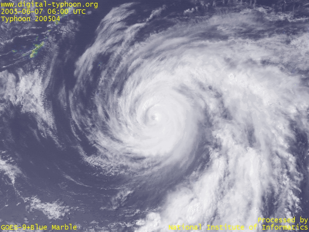 Typhoon NESAT whose eye looks gently bented (0600 UTC)
|
 Typhoon NESAT with the magnified eye in the center (0200 UTC)
|
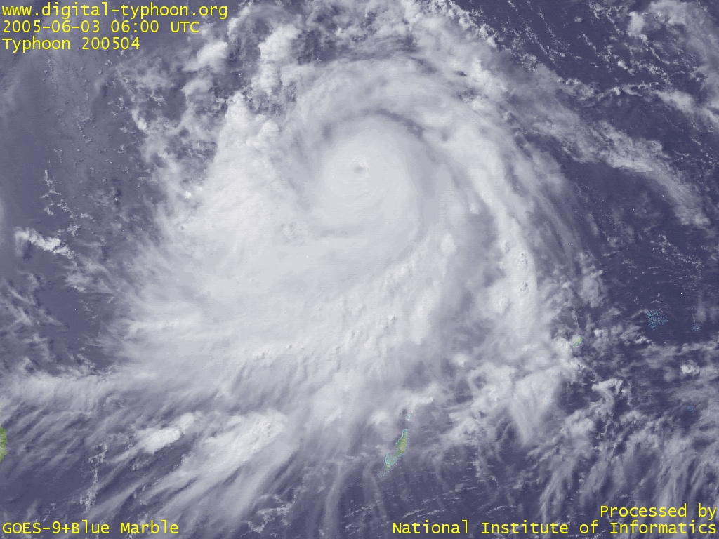
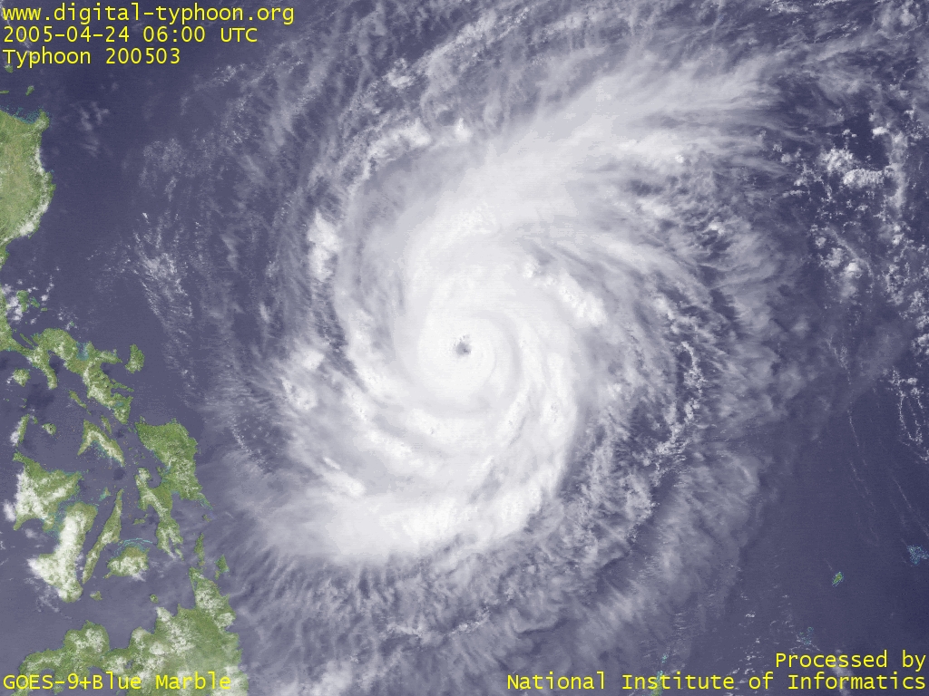
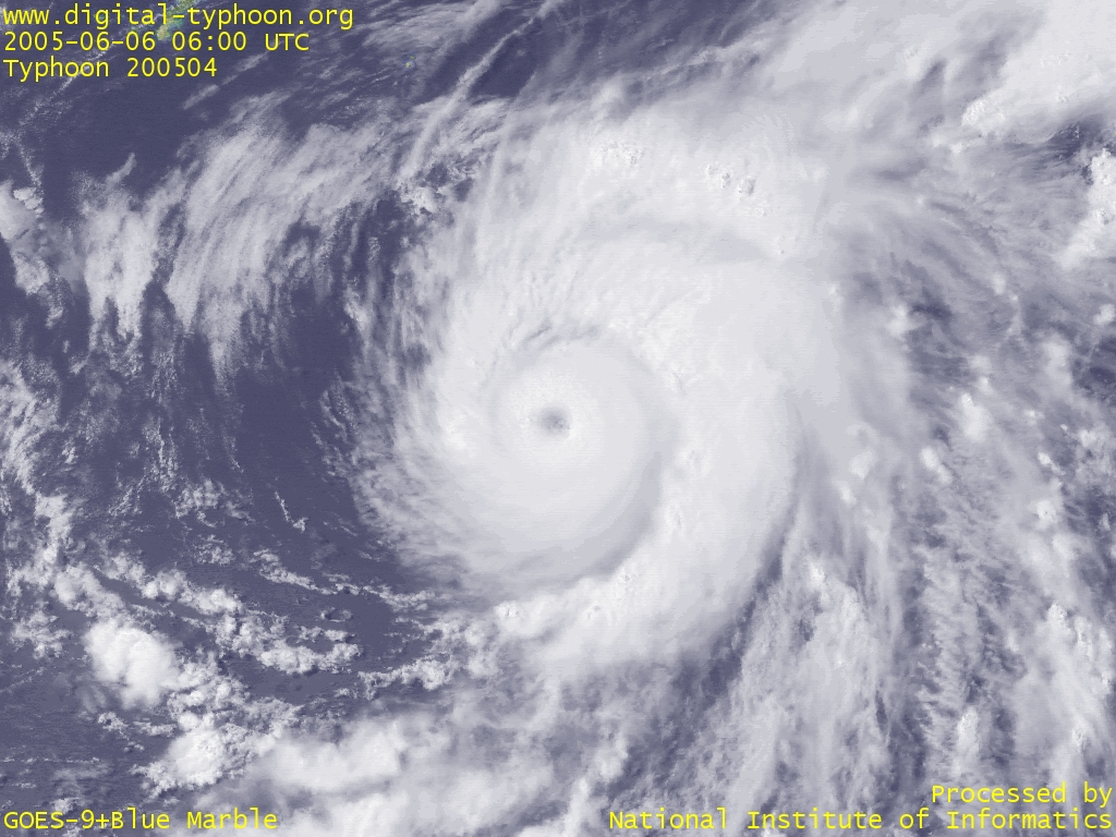 Typhoon NESAT intensified again in a well-balanced shape (0600 UTC)
|
 Typhoon NESAT starting to move northward (0200 UTC)
|
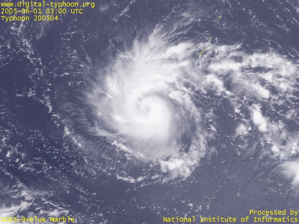
 Typhoon NESAT showing well-balanced spiral cloud shape (0100 UTC)
|
 Typhoon NESAT with the strong spouting of clouds to the south (0500 UTC)
|
 Typhoon NESAT whose upper level digergence of clouds is clearly visible (0600 UTC)
|
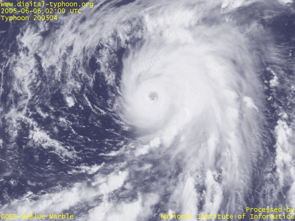
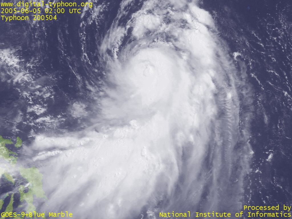
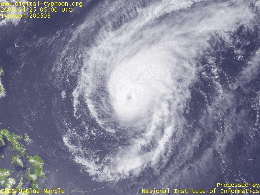
 Typhoon NESAT whose clear and sharp eye became visible (0200 UTC)
|
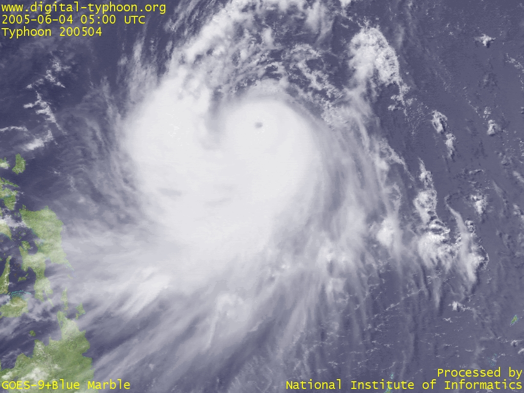
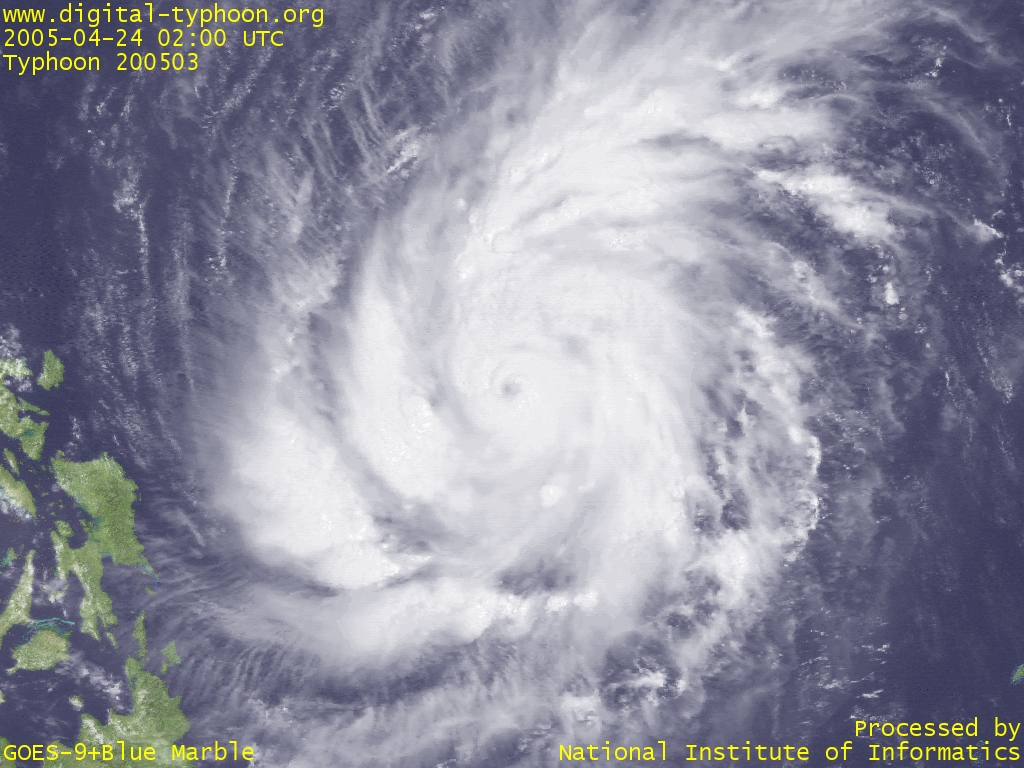
 Typhoon NESAT just after the birth (0300 UTC)
|
 Typhoon SONCA keeping its intensity while its cloud shape getting a little weaker (0500 UTC)
|
 Typhoon SONCA with its eye becoming visible (0200 UTC)
|
 Typhoon SONCA keeping its intensification process (0600 UTC)
|
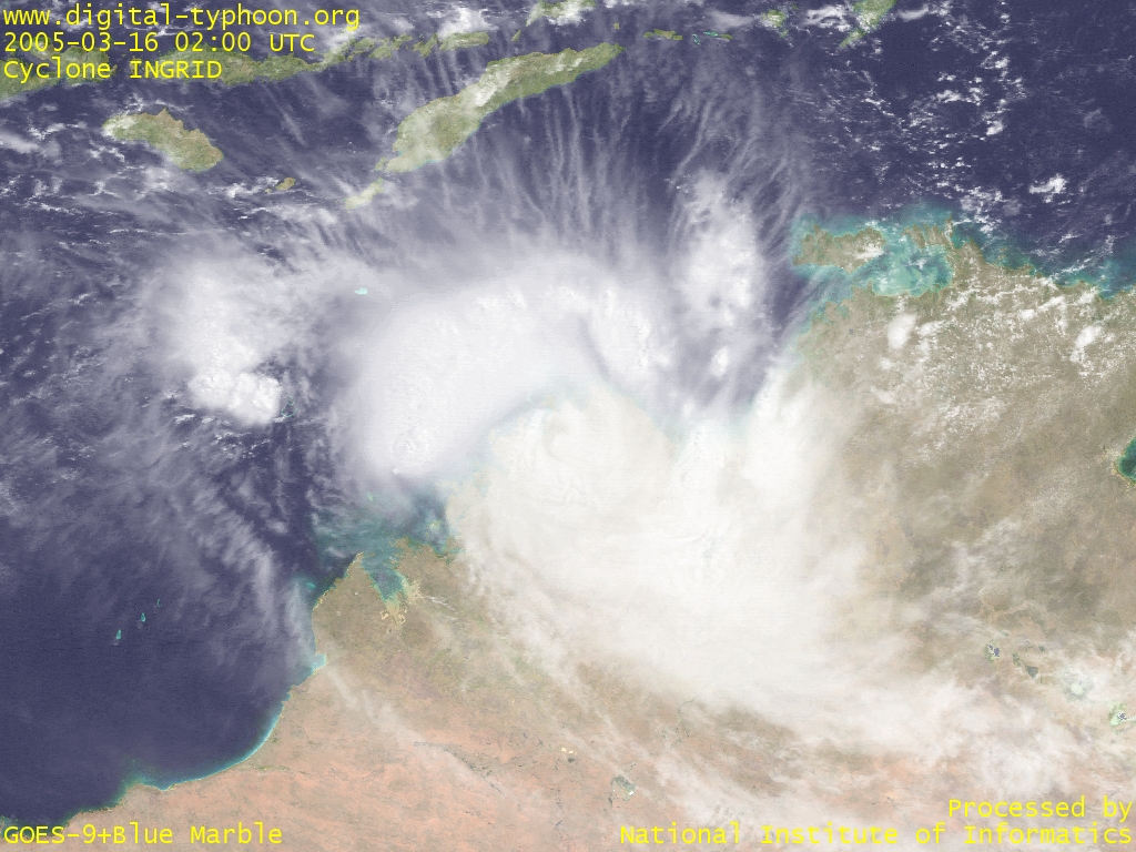 Cyclone INGRID's amazing survival (March 16, 2005, 0200 UTC)
|
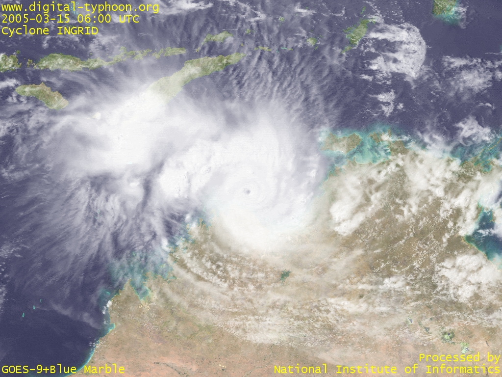 Cyclone INGRID extremely intensified again just before making landfall (March 15, 2005, 0600 UTC)
|
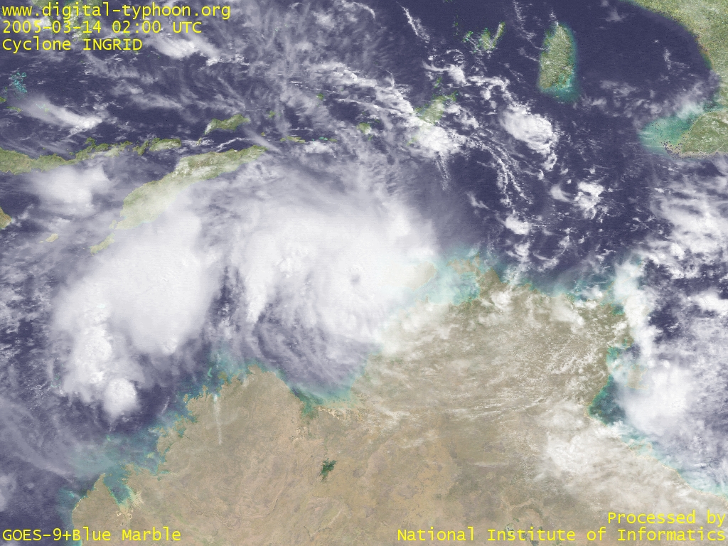 Cyclone INGRID reaching the Timor Sea with its eye still being visible (March 14, 2005, 0200 UTC)
|
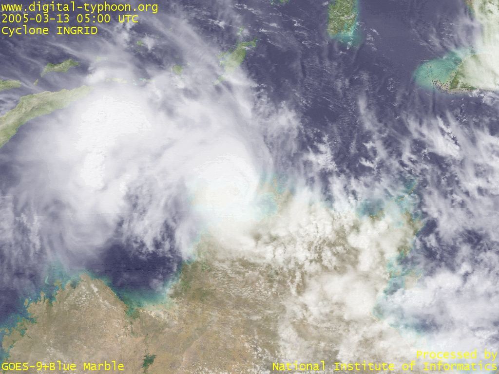 Cyclone INGRID gradually weakening (March 13, 2005, 0500 UTC)
|
 Cyclone INGRID moving along the coast of Top End (March 12, 2005, 0100 UTC)
|
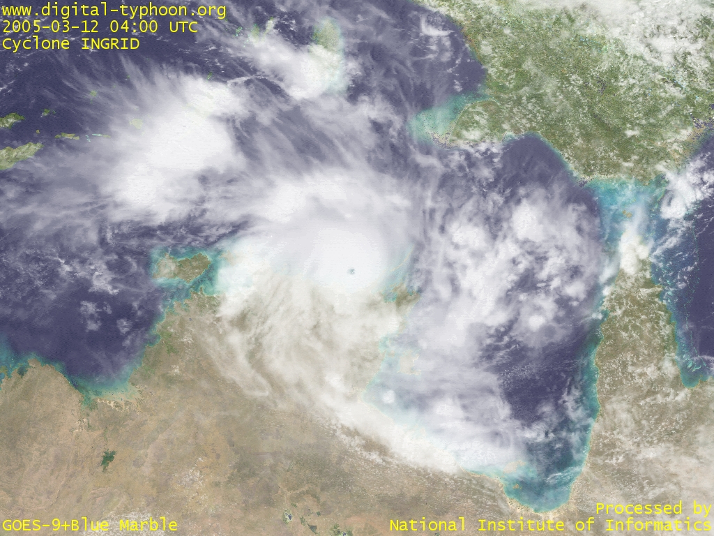 Cyclone INGRID with the clear edge of the eye (March 12, 2005, 0400 UTC)
|
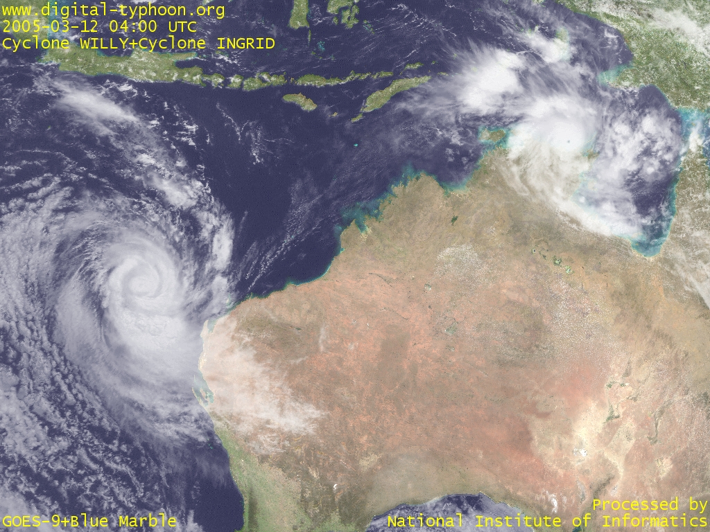 Cyclone WILLY in west of Australia (left) and Cyclone INGRID in north of Australia (right) (March 12, 2005, 0400 UTC)
|