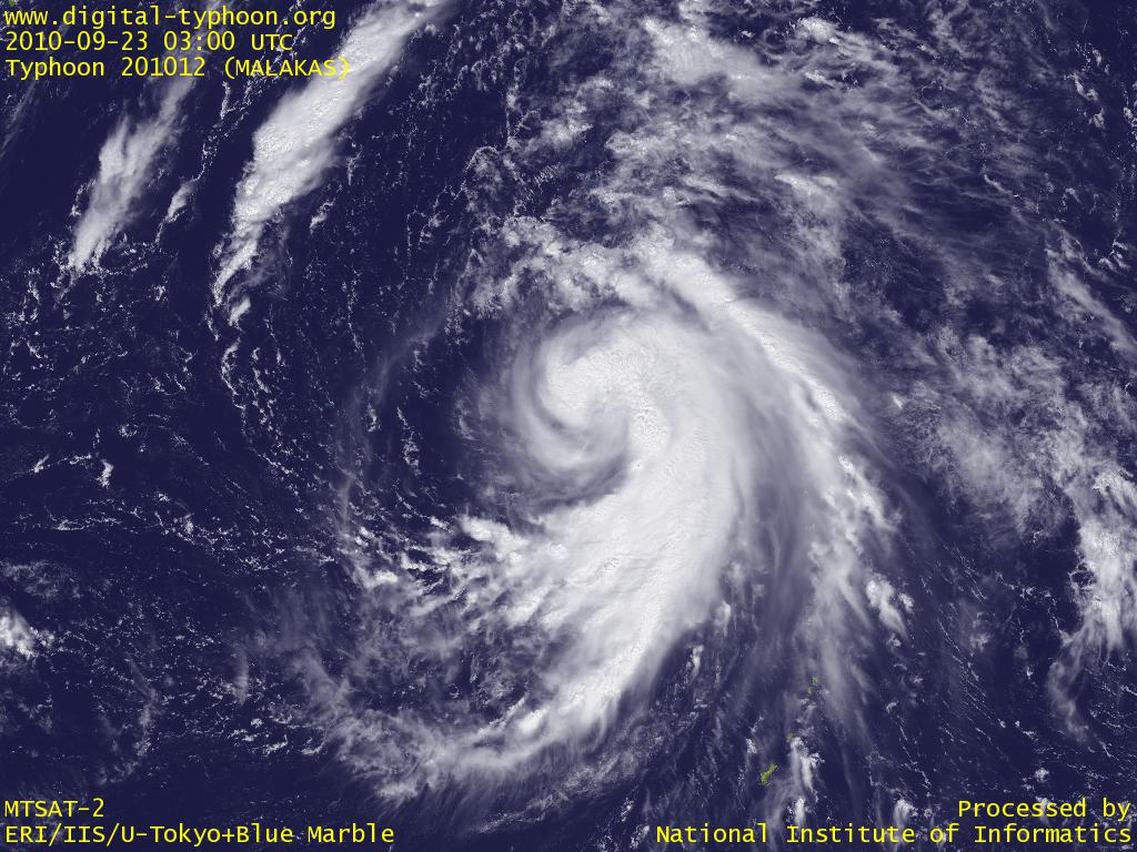
 Typhoon MALAKAS having clouds also in the north part of the center (03 UTC)
|
 Typhoon MALAKAS imbalanced for clouds in the south (03 UTC)
|
 Typhoon FANAPI developing in south of Sakishima Islands (03 UTC)
|
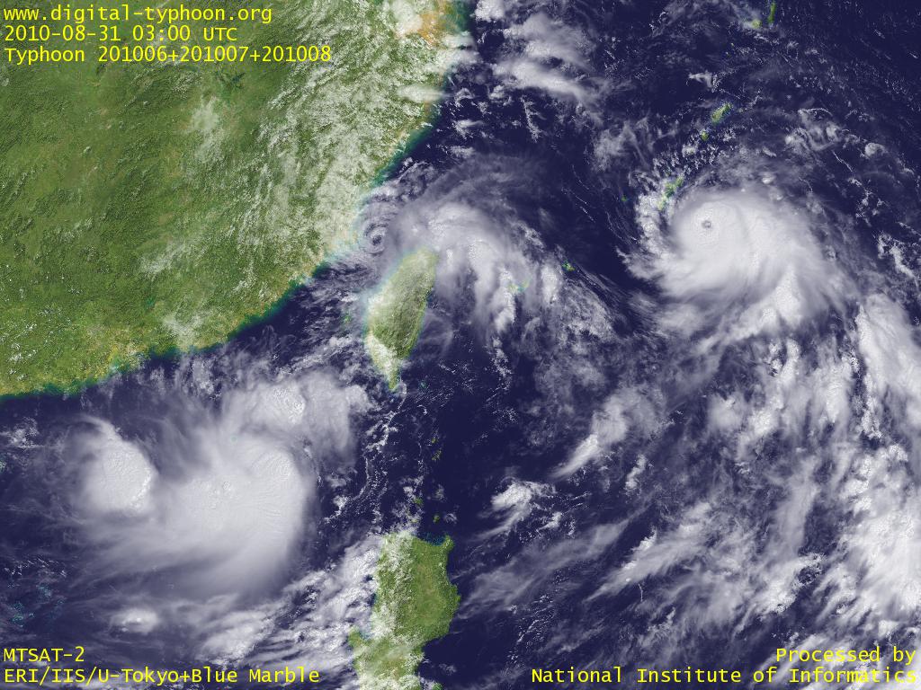 Typhoon LIONROCK, Typhoon KOMPASU, and Typhoon NAMTHEUN, three typhoons packed in a small area between East China Sea and Okinawa (03 UTC)
|
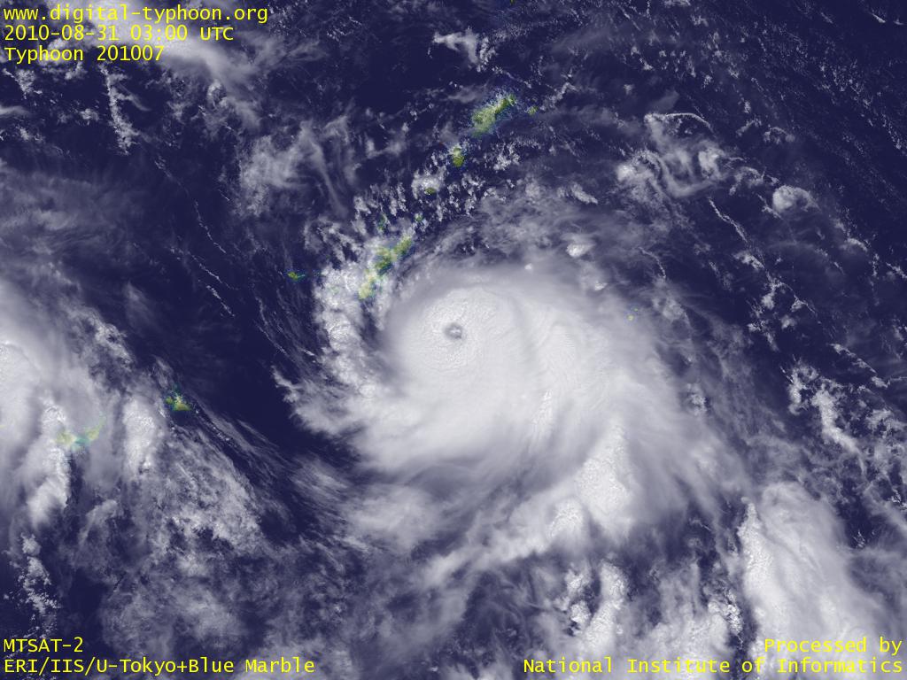 Typhoon KOMPASU drawing near to Okinawa main island (03 UTC)
|
 小さく円い眼をもつ台風200922号(12時JST)
|
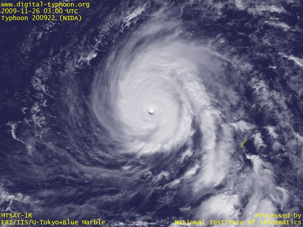
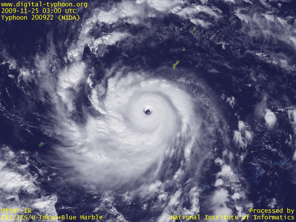 Typhoon NIDA showing a historically significant rapid intensification in south of Guam (03 UTC)
|
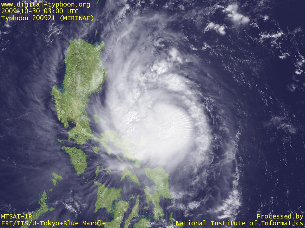 Typhoon MIRINAE just before making landfall at Luzon Island, Philippines (03 UTC)
|
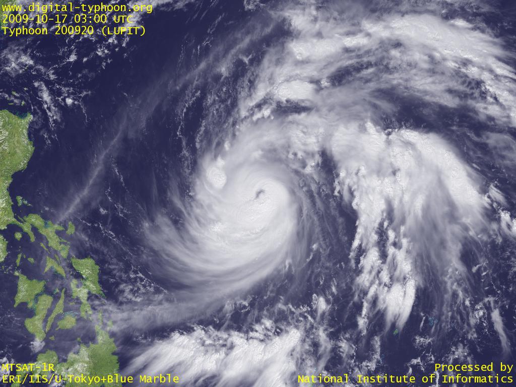 Typhoon LUPIT intensifying very smoothly (03 UTC)
|
 Typhoon MELOR approaching Daitojima Area while the eye is getting bigger (03 UTC)
|
 Typhoon MELOR with a rounded eye and a rounded cloud shape (04 UTC)
|
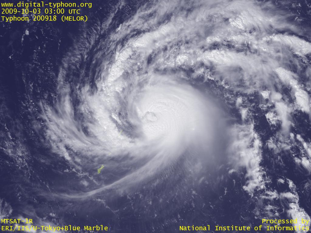
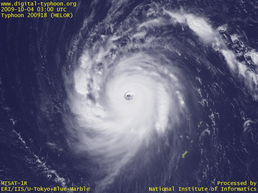 Typhoon MELOR at its peak intensity (03 UTC)
|
 Typhoon MELOR drawing near to Northern Mariana Islands (03 UTC)
|
 Typhoon MELOR approaching to Northern Mariana Islands (02 UTC)
|
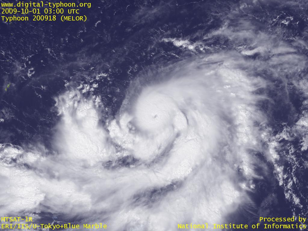 Typhoon MELOR in the intensification phase (03 UTC)
|
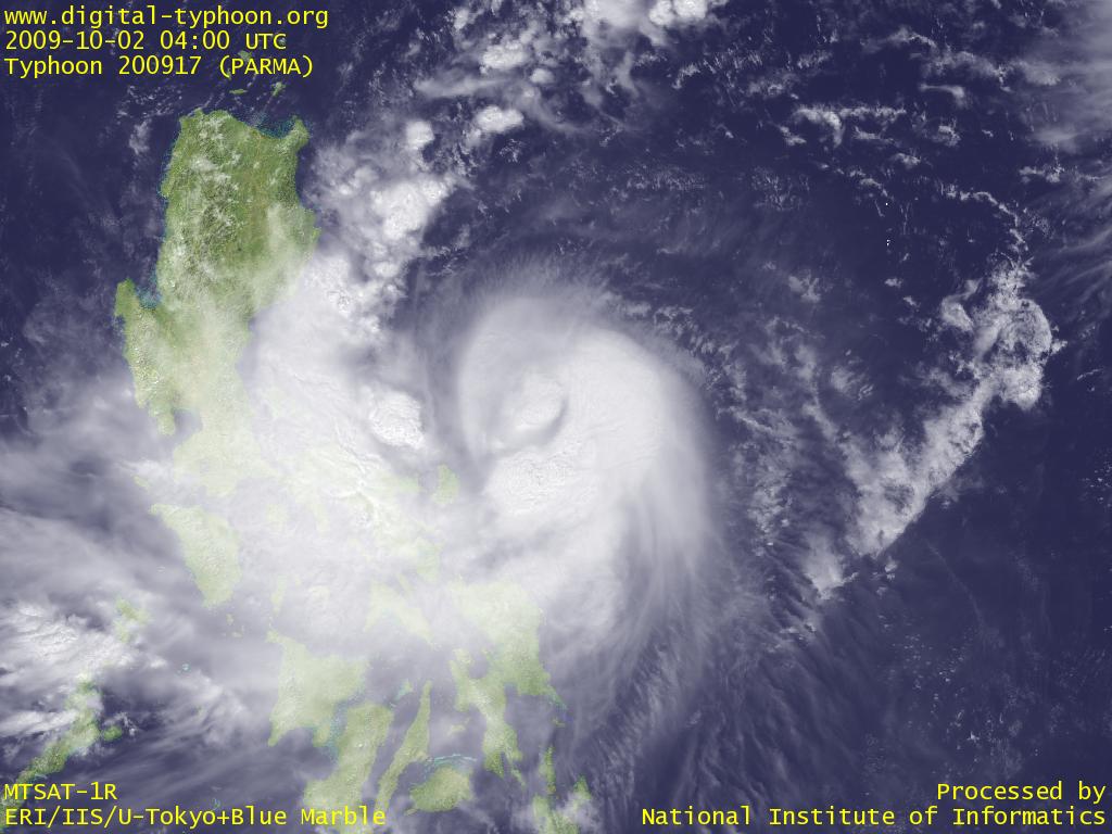 Typhoon PARMA with well developed spiral band in the west (04 UTC)
|
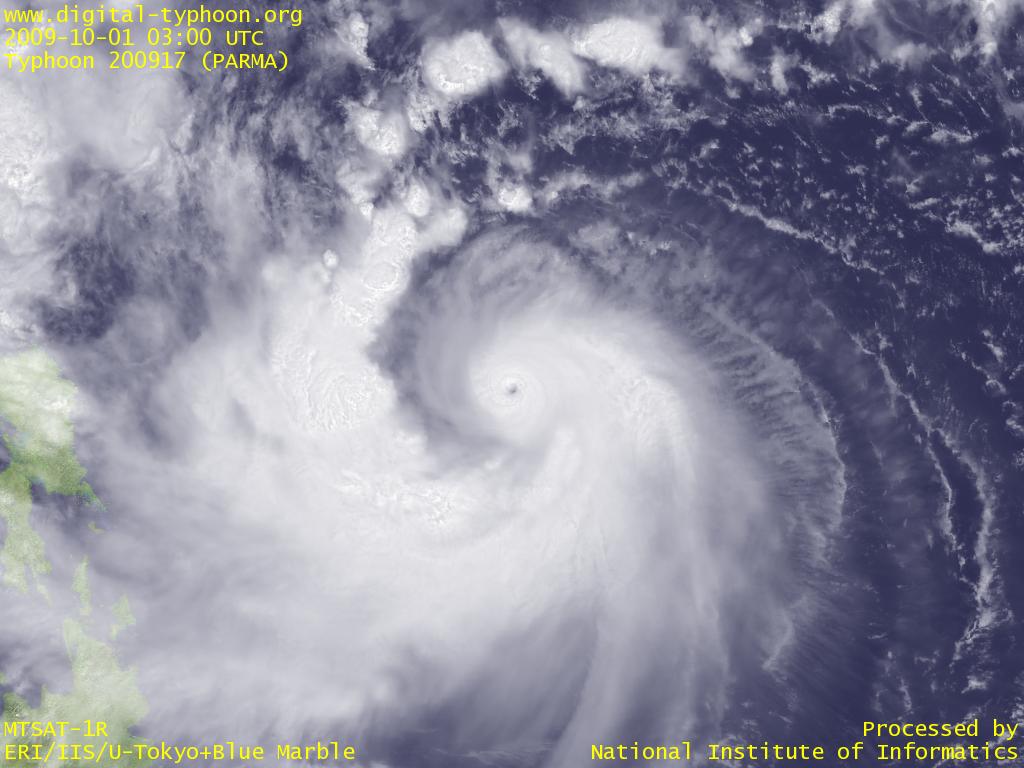 Typhoon PARMA with a very small eye and well-developed spiral bands (03 UTC)
|
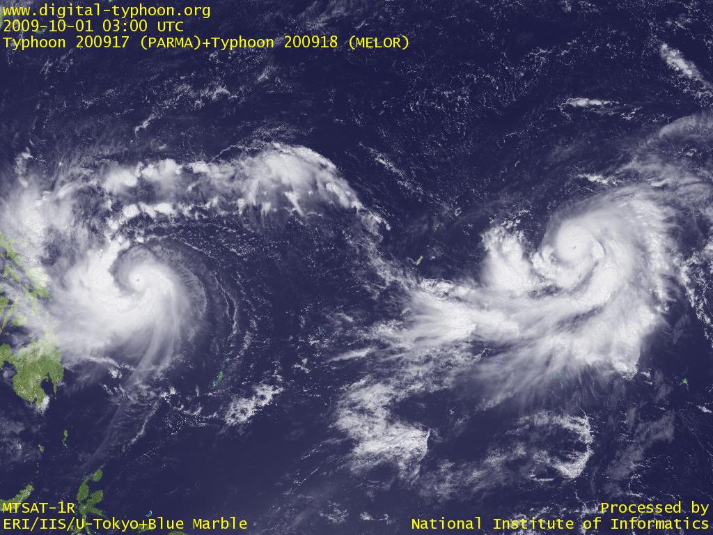 Typhoon PARMA and Typhoon MELOR on the Pacific Ocean (03 UTC)
|
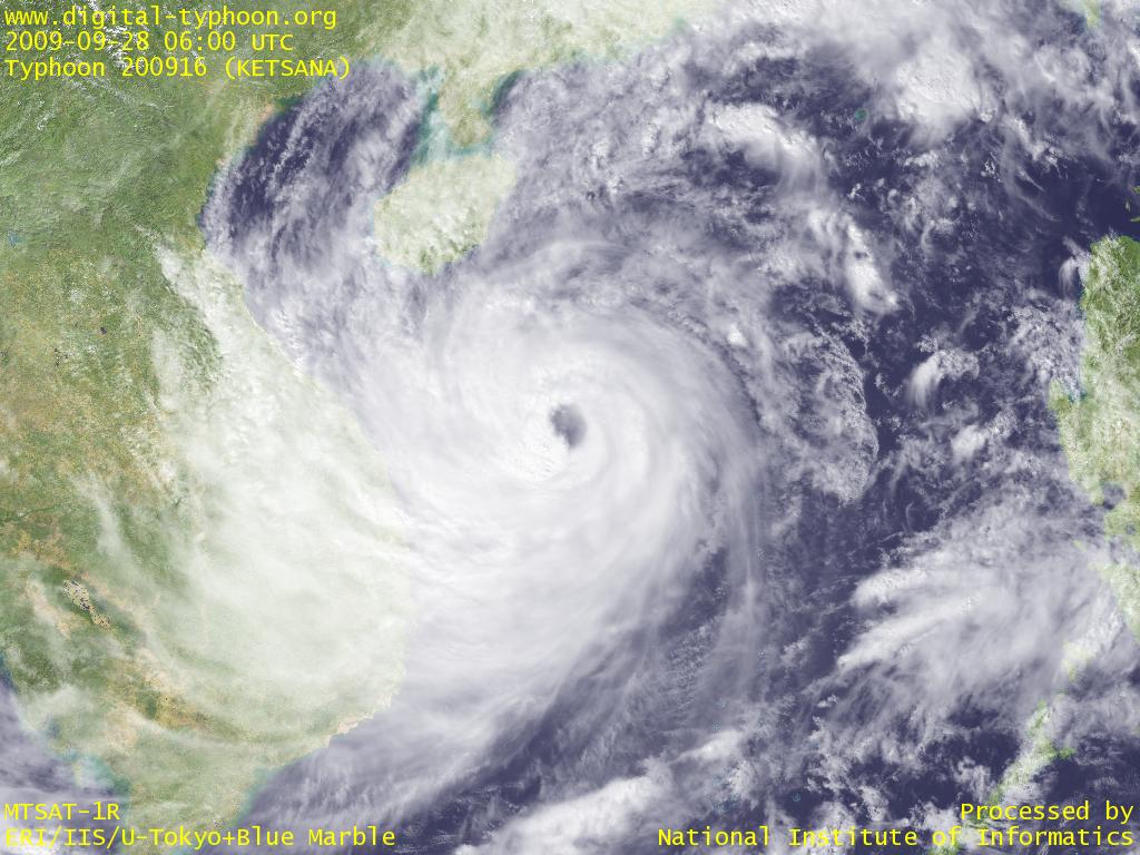 Typhoon 200916 approaching Vietnam (06 UTC)
|
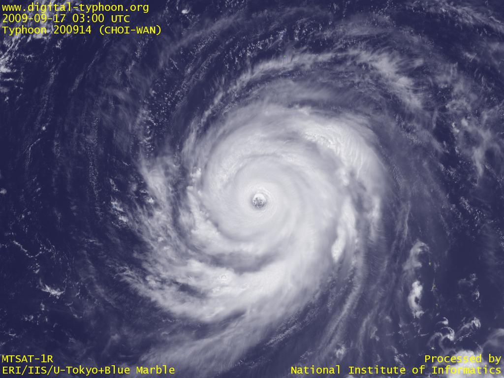 Typhoon CHOI-WAN with a little larger eye while keeping its intensity (03 UTC)
|