|
2004-8-17
The damage of Zhejiang Province by Typhoon RANANIM amounts to at least 164 killed, 24 missing and estimated damage at more than 18.1 billion yuan. This is the worst storm to give damage to mainland China since Typhoon 199713, which killed 236 people. According to China Meteorological Administration, in addition, this typhoon is the strongest in nearly 50 years since Typhoon 195606 to hit mainland China.
2004-8-13
Typhoon RANANIM made landfall at Zhejiang Province in China and disasters are beginning to be reported. At the time of writing, it is reported that the number of death and missing is about 80, while the number of injured is about 2000. Those numbers may increase as the information is better collected.
By the way, some articles describe this typhoon as "Typhoon No. 14." To confirm this description, I checked the website of National Meteorological Center (China), and it describes this typhoon as "Typhoon No. 14 in 2004." In short, what is called Typhoon No. 13 in Japan is called Typhoon No. 14 in china. In other words, the international number of this typhoon is 200413, while the Chinese domestic number is 200414.
The assignment of different numbers originates in different decision making on typhoon formation made by meteorological organization of each country. Different domestic typhoon numbers are caused, for example, by disagreement among meteorological organizations on the judgment of typhoon formation from a tropical depression, or the order of typhoon formations from multiple tropical depressions. To avoid international misunderstanding due to the different assignment of domestic typhoon numbers, the convention is to use the international typhoon number for authoritative documents.
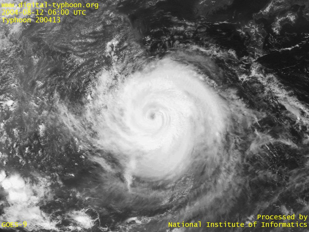
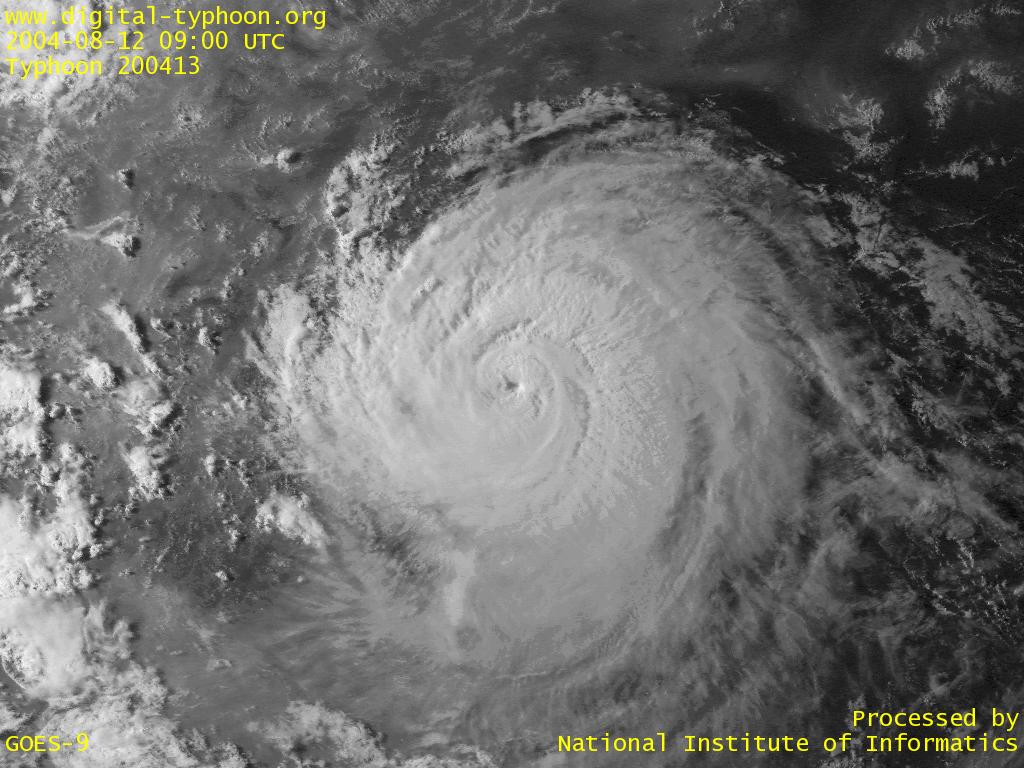
2004-8-12
Typhoon RANANIM has passed between Miyako-jima and Tarama-jima, and is moving away from Okinawa. Tonight it is forecast to make landfall at Zhejiang Province in China. On approaching to China, however, the typhoon does not show any sign of weakening, and this is an apprehensive situation of disasters over those areas.
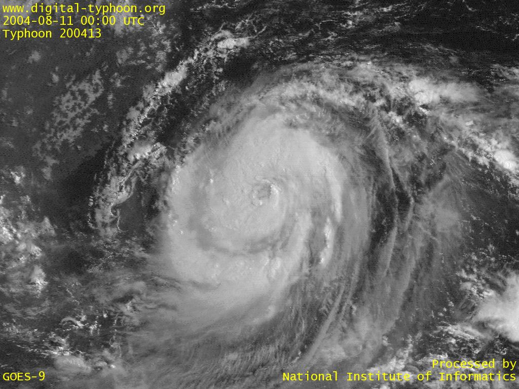
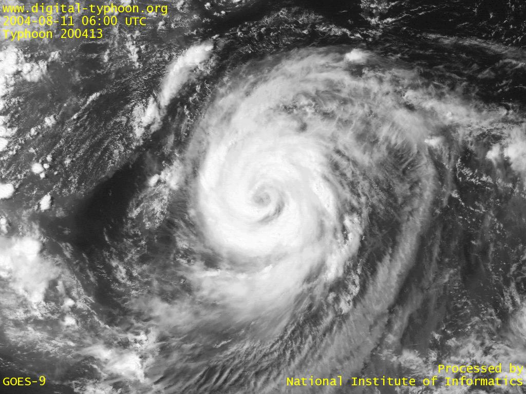
2004-8-11
On the approaching of Typhoon RANANIM, winds and rains of Miyako-jima and Ishigaki-jima is getting stronger and heavier. It seems that the typhoon will pass just in west of Miyako-jima.
2004-8-11
Typhoon RANANIM is forecast to pass the closest point to Miyako-jima, Ishigaki-jima and Iriomote-jima sometime tonight. The typhoon still keeps intensifying, but it has not reached the intensity of Typhoon MAEMI, which struck Miyako-jima last year.
2004-8-10
Typhoon RANANIM is forecast to strike directly at Sakishima Islands. The area of 30kt wind is relatively large, so the effect of storm surge may be observed earlier. We need to watch to what extent the typhoon will intensify before attacking Okinawa.
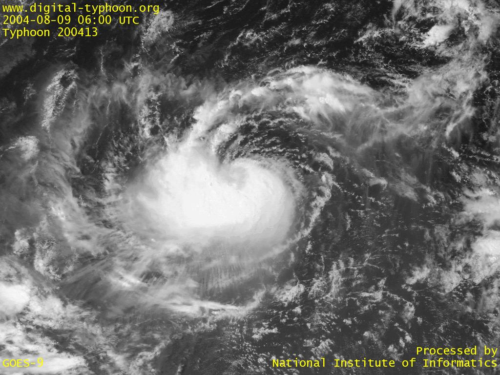
2004-8-9
Typhoon RANANIM is getting more well-organized, and the forecast was changed that the typhoon will approach to Japan with intensification. From the forecast track, Okinawa is likely to be affected by the typhoon.
2004-8-8
Typhoon RANANIM was born in east of Philippines. At this moment, it is forecast to approach to Japan without signinficant intensification, but in any case special attention should be paid on this typhoon.
Links
Related Typhoon Blog Entries
- Typhoon 200503 (SONCA)
- Typhoon 200424 (NOCK-TEN)
- Typhoon 200408 (TINGTING)
- Typhoon 200423 (TOKAGE)
- Typhoon 200427 (NANMADOL)
- Typhoon 200417 (AERE)
- Typhoon 200902 (CHAN-HOM)
- Typhoon 200808 (FUNG-WONG)
- Typhoon 200618 (SOULIK)
- Typhoon 200415 (MEGI)
|